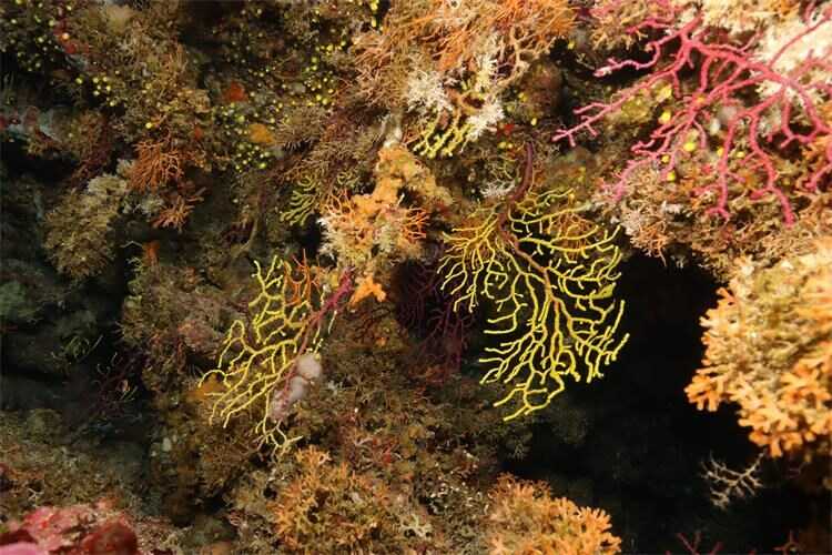
The Ministry of Environment and Green Transition has published a call for participation in the preparation of project documentation for the development of a comprehensive map of coastal and benthic marine habitats in the Adriatic Sea. The full text of the call is available on the Ministry’s website.
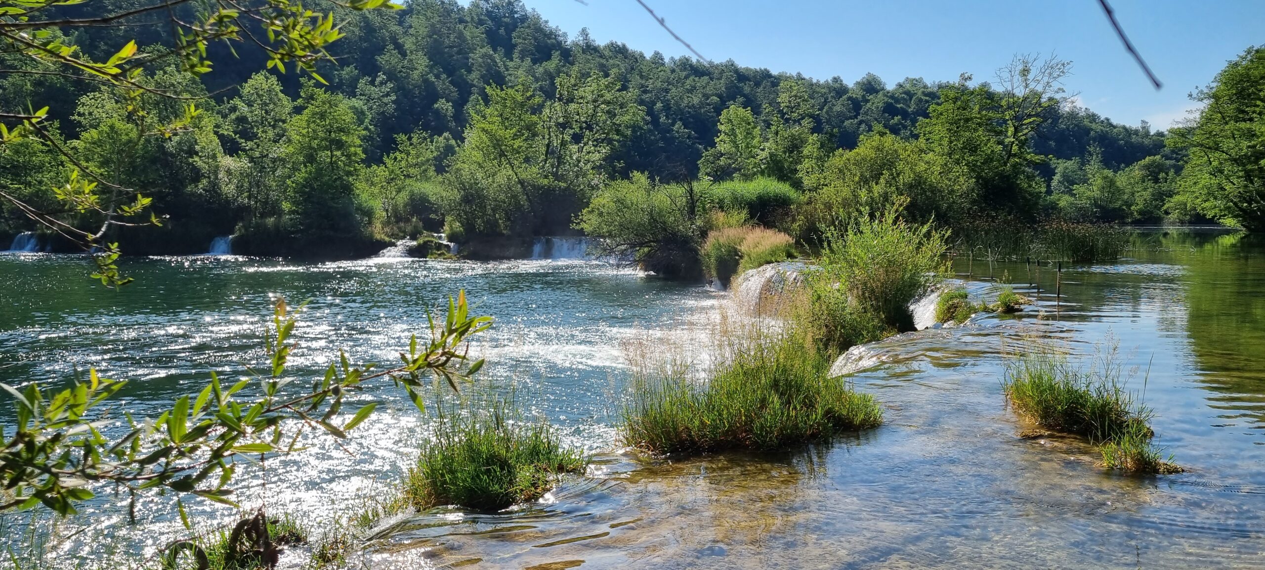
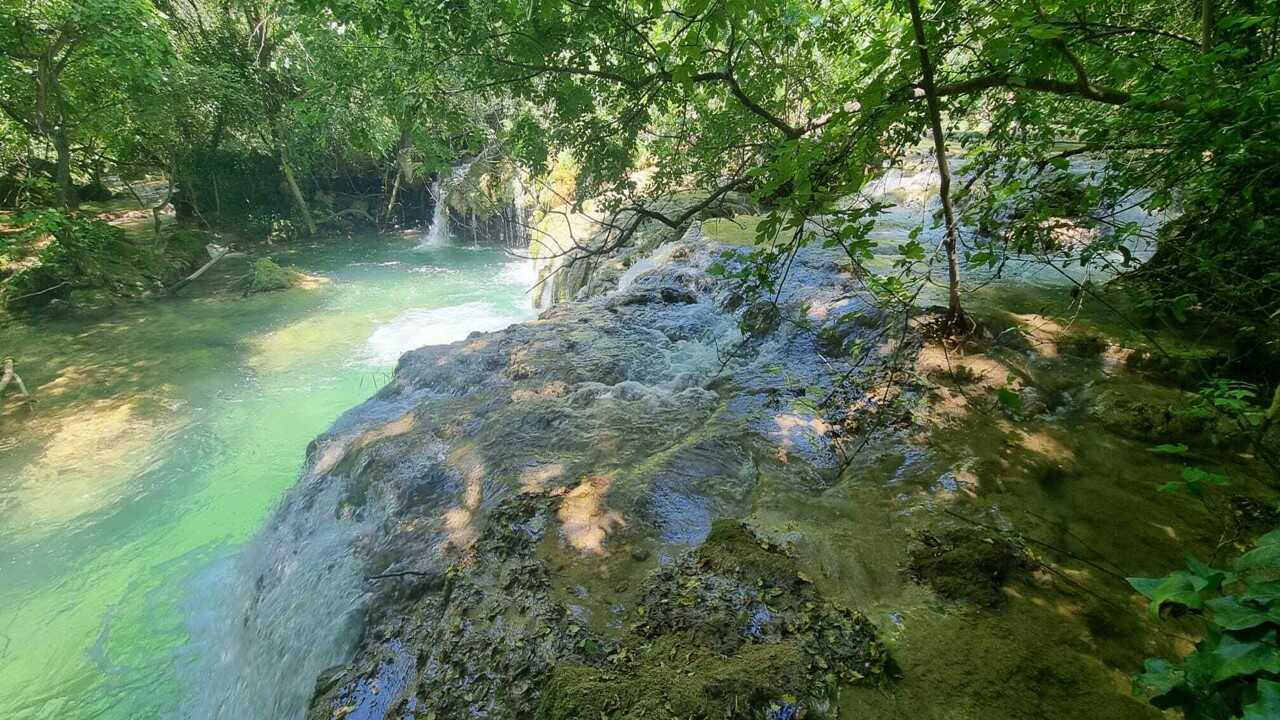
The aim of the project is to conduct systematic research and mapping of marine habitats within the jurisdiction of the Republic of Croatia, thereby ensuring a comprehensive and reliable basis for assessing their status and fulfilling obligations arising from European legislation, including Regulation (EU) 2024/1991 on Nature Restoration.
The project foresees field research and the application of modern methods, such as acoustic seabed mapping and the integration of existing datasets. The results will contribute to a more precise spatial representation of marine habitats, improved planning of conservation and restoration measures, and enhanced management of marine areas.
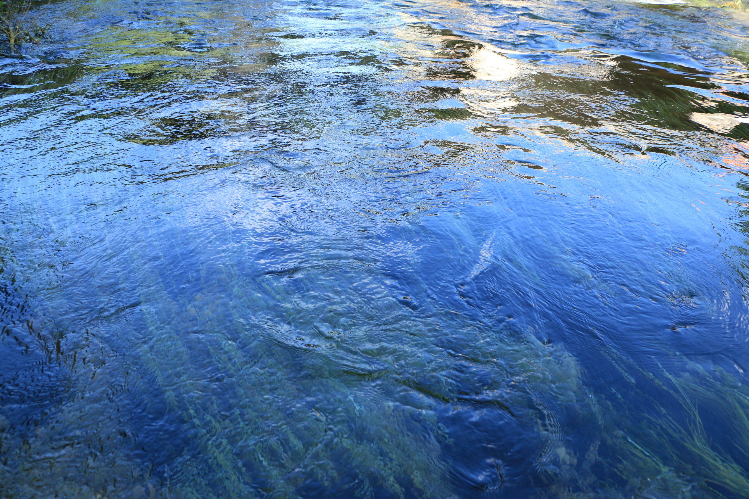
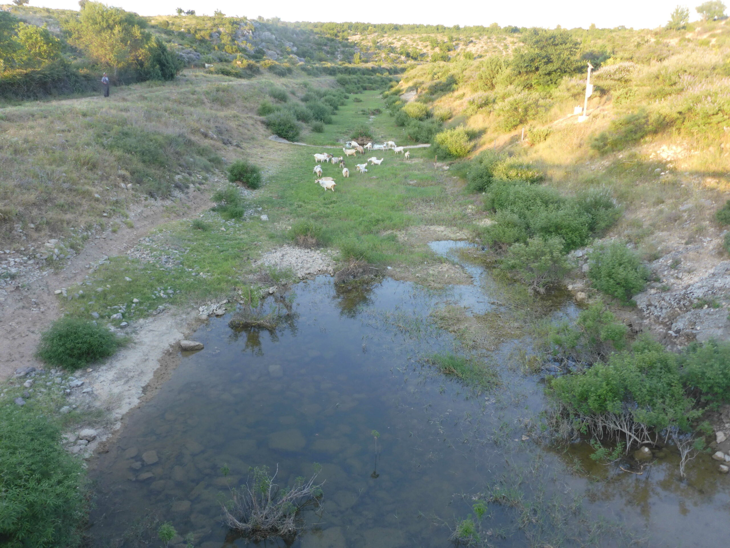
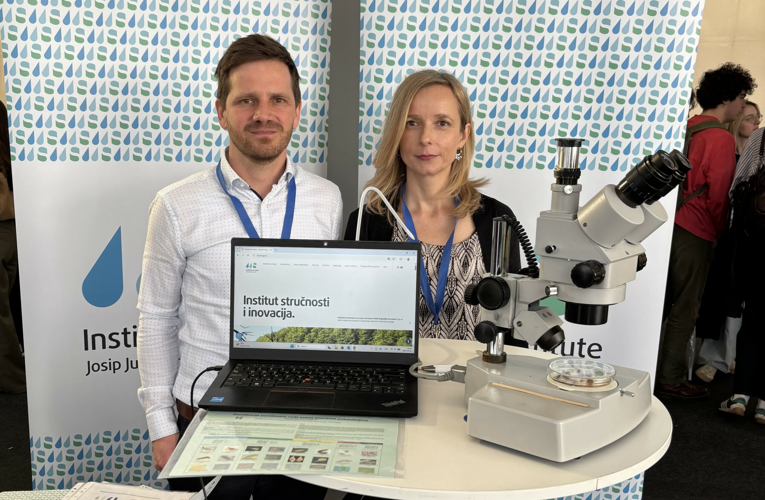
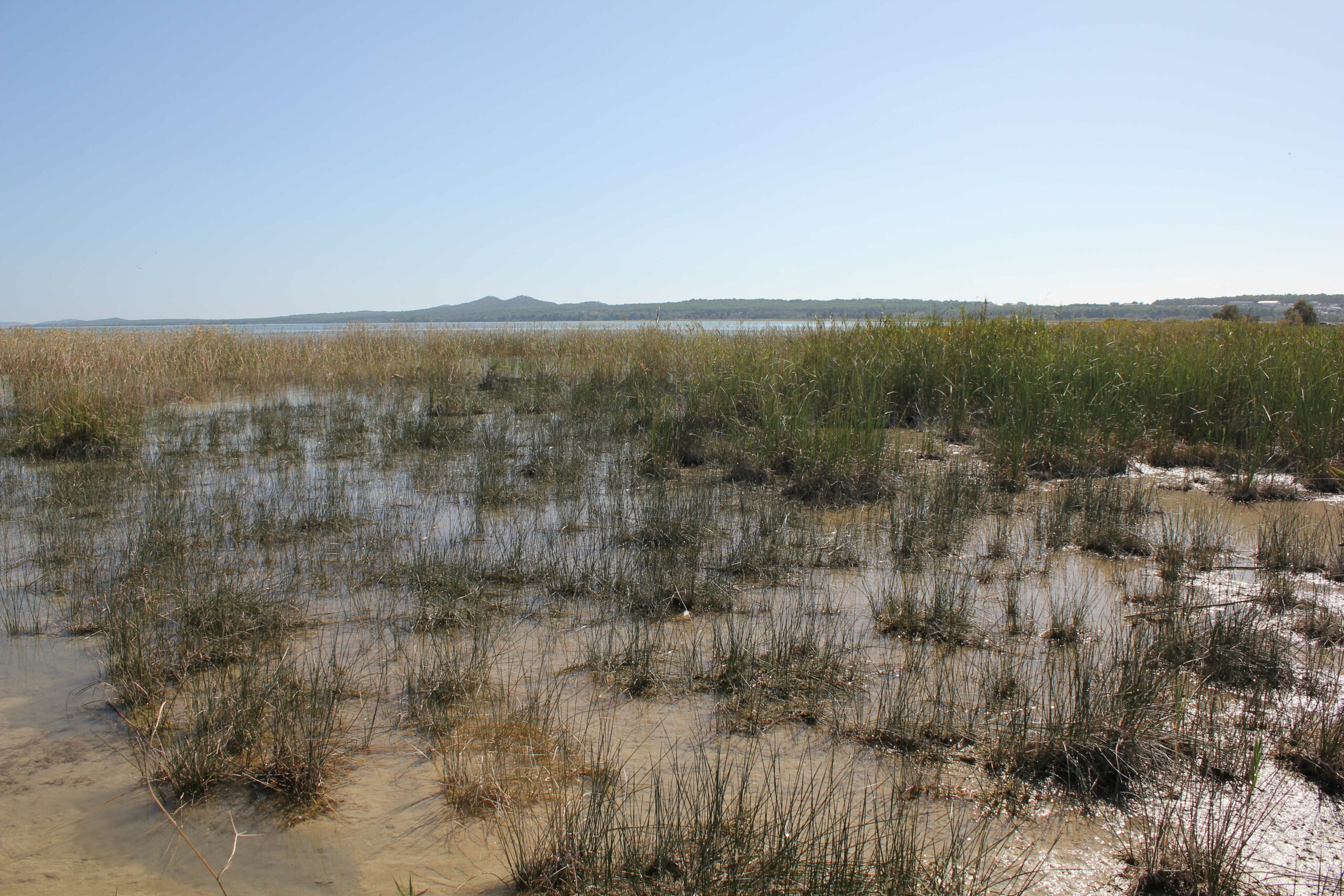
For the Josip Juraj Strossmayer Water Institute, the outcome of this project is of significant importance. The Institute already conducts systematic monitoring of surface and groundwater, prepares annual water status reports, and participates in the development of river basin management plans and programmes of measures. The integration of marine habitat data with existing databases on inland and transitional waters will contribute to the development of integrated assessments of coastal water bodies and to a more accurate evaluation of pressures on aquatic and marine ecosystems. In the long term, such a database will support the preparation of high-quality expert documentation, the improvement of monitoring methodologies, and a stronger role of the Institute in implementing national and European water and marine protection policies.
The development of a comprehensive map of coastal and benthic marine habitats represents an important step toward sustainable management of the Adriatic Sea and toward strengthening the scientific and professional foundations for the protection of Croatia’s water and marine resources.